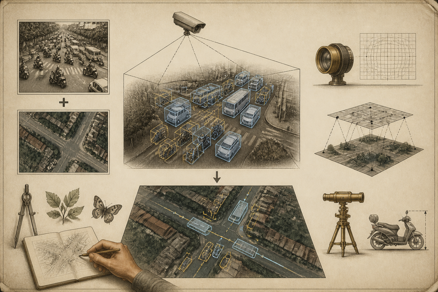
An open-source project called TrafficLab-3D promises to turn ordinary CCTV video and a Google Maps location into a 3D "digital twin" visualization of traffic, sidestepping the expensive LiDAR and stereo-camera rigs that such reconstructions typically demand. The tool, hosted on GitHub under the handle duy-phamduc68 and developed by a coder who goes by Yuk, has drawn attention in the computer-vision community as a low-cost, accessible route into an otherwise hardware-intensive field.
Continue reading
The rest of this article is for AI News Blitz readers. Choose an option below to keep reading.
Already purchased? Sign in✓ Signed in — this article isn’t included in your current plan.
Unlocking the full article...
Contact us
Questions, corrections, or ideas? Send us a message here. We aim to reply by email within 24 hours.
Thank you. Your message has been sent. We aim to reply by email within 24 hours.Please enter your email address and a message.We could not send your message. Please try again in a little while.